Now that a set of proposed new district maps are in the hands of the City Council, after the city’s Districting Commission almost unanimously passed them last week, the body has until the end of the month to give the commission suggested tweaks on the plan.
If the council doesn’t object to the draft maps passed last week by an Oct. 27 deadline, those lines will automatically become the final plan.
According to an expert familiar with the redistricting process, in the more likely scenario that the council does object to the maps by passing a resolution, the commission will hold additional mapping sessions immediately afterwards.
They’ll then have to release another draft plan based on those changes, likely to be unveiled sometime in the beginning or middle of next month, which will be followed by another round of public hearings. To cap it all off, based on input from those hearings, they’ll then have to draft final lines to be voted on by a Dec. 7 deadline.
City Council Speaker Adrienne Adams’ office was tight-lipped on where the body currently stands on the maps in an emailed statement to PoliticsNY.
“The council is reviewing and discussing the new district maps, along with our next steps and will alert the public once we’ve determined what’s next,” they said.
Council Minority Leader Joe Borelli couldn’t be reached for comment, according to a spokesperson for the Staten Island Republican.
In the case that the commission doesn’t approve a final plan by its Dec. 7 deadline, it’s not entirely clear what would happen next, the expert said, because the City Charter doesn’t outline further steps.
“The charter is silent on that,” the expert said. “So, in a situation where a jurisdiction doesn’t have a redistricting plan, then someone’s got to go to court. There’s no other automatic remedial process. So, a New York City resident would have to go to State Supreme Court and argue that New York City does not have a City Council plan in place for use in the 2023 elections, and therefore, petition the court to please rectify this to draw a plan itself.”
The court could then give the commission an additional two weeks to draw and pass a new plan, the expert said. And if they again fail to pass new lines in that timeframe, the judge can take over the process and draw the maps themself or enlist an independent expert – known as a special master – to do so, which was done at the state level to redraw congressional and state Senate maps.
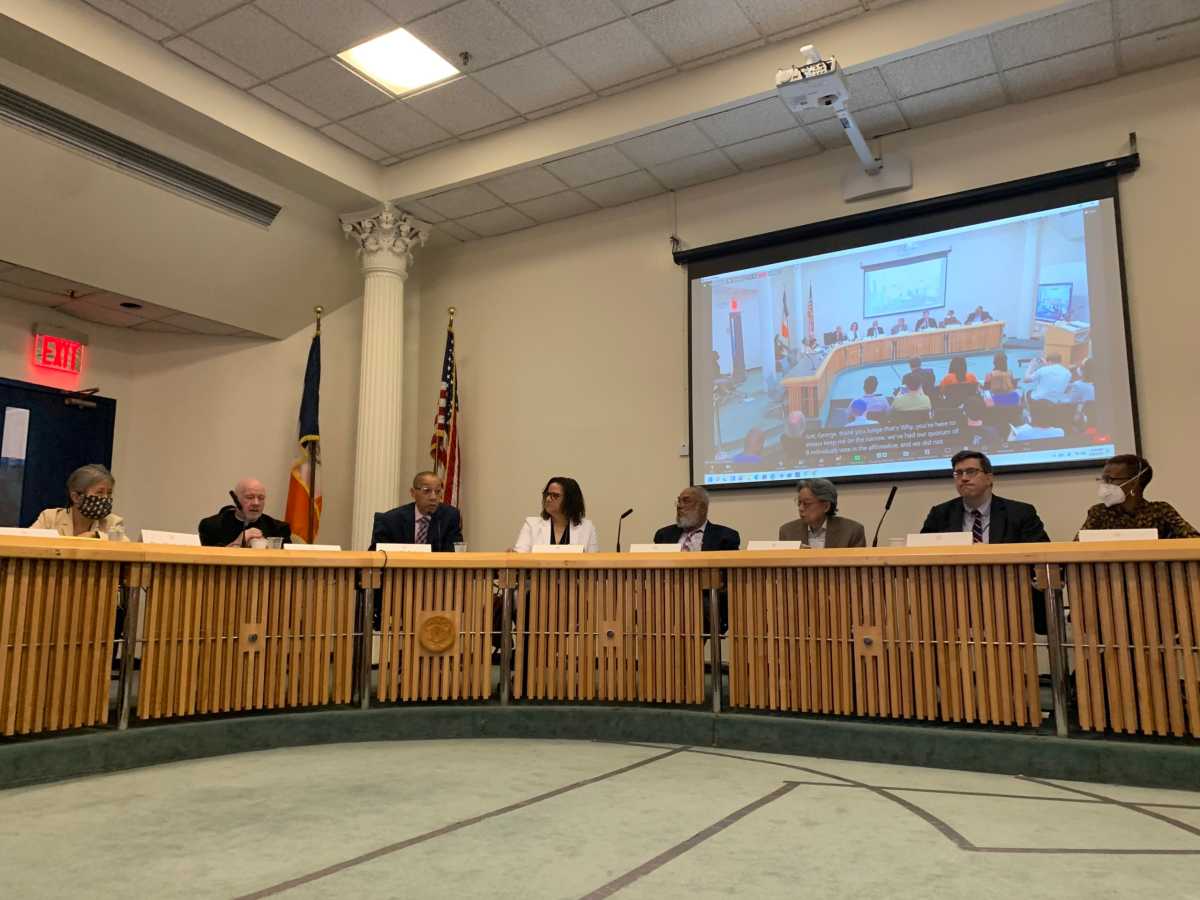
This all comes after the commission finally passed a set of draft maps last week in a do-over vote that reflected further changes from an earlier version of revised lines they rejected late last month. That plan didn’t pass muster with eight of the commission’s 15 members, who said they believed it disenfranchised Latino voters and was the result of a flawed map-making process.
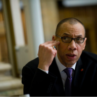
The commission is made up of appointees from Mayor Eric Adams, Speaker Adams and Borelli – who each had seven, five and three appointments respectively.
The plan that ultimately passed received almost unanimous support in a 13 to 1 vote – with one commissioner, Maria Mateo, absent. It was amended from the previous plan the commission rejected, through two public mapping sessions late last month.
During last week’s meeting, most of the commissioners said while they still had some qualms with the maps, it was past time to send them to the City Council for their feedback. One of the commissioners, Judge Marilyn Go, said it’s clear from the process thus far that no matter how many alterations are made to the maps, the commission simply can’t please everyone.
“To paraphrase Abe Lincoln, ‘we can’t please all of the people all of the time’ with all of the lines,” Go said at the time. “I feel very strongly it’s time to pass the maps on to the City Council for consideration.”
Although most of the commissioners ended up voting for the maps, the proceedings were almost derailed when one commissioner – Joshua Schneps – made a motion to push last minute adjustments to a couple of southern Brooklyn districts before proceeding.
In his motion, Schneps – the CEO of Schneps Media, which owns PoliticsNY – sought to unite the five buildings that make up the Amalgamated Warbasse Houses, a Coney Island housing cooperative, into Council District 47. The five buildings of the development had been split between Districts 47 and 48 during the two mapping sessions preceding the vote.
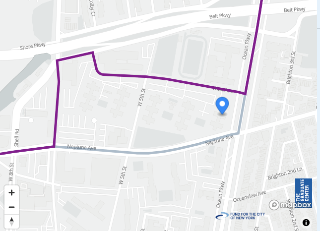
The motion ultimately failed because several of the commissioners said it was time to move on to the next phase of the process after the many hours of deliberations they had already had over the maps.
“If we keep the door always open to the latest round of testimony that comes in, then we leave ourselves always open to keeping that door there,” commission Chair Dennis Walcott said at the time. “And I think we’ve reached that threshold point to submit it to the City Council, and then have the City Council review.”
That action followed reporting that Mayor Adams, for the second time, reached out to his appointees on the commission via his Deputy Chief of Staff Menashe Shapiro and urged them to vote “no” on the lines. The effort proved to be far less successful last week than in the September vote, when many of the mayor’s appointees gave the maps a thumbs down.
One council member who has vocally opposed both the plan that was rejected last month and the one passed last week is Ari Kagan, a first-term member who represents District 47.
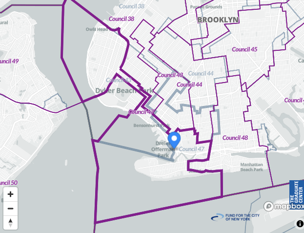
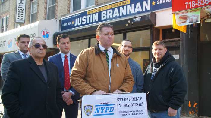
The plan puts Kagan’s Gravesend home in neighboring District 44, represented by fellow Democrat Council Member Kalman Yeger, and connects the Coney Island portion of the district with much of Bay Ridge, currently the home turf of the council’s Finance Committee Chair Justin Brannan (D). This means Kagan, who says he will seek reelection next year, will either have to challenge Yeger or Brannan in order to have a shot at holding onto his seat.
Kagan has been sounding the alarm about the revised maps since they were revealed last month, claiming they divide up communities of interest in his district and weren’t supported by any public testimony from his constituents. He even rallied against the plan with other southern Brooklyn electeds and organizations earlier this week.
“Community leaders from southern Brooklyn protested tonight the proposed boundaries of the 47 Council District that cut neighborhoods in pieces & connect Coney Island & Bay Ridge through a long ‘thin tunnel,’ he wrote on Twitter. “Attendees of the rally called on @NYCCouncil to reject these maps.”


