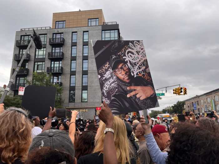

Candidate petitioning for the 2022 elections is coming up soon, but the state’s redistricting process is not done yet.
That after the 10-member New York State Independent Redistricting Commission (IRC) today were deadlocked in a 5-5 vote on their two map proposals with Democrats choosing their own and Republicans doing the same.
Petitioning begins in March, and the 2022 primary is set for June 28, so time is of the essence for this process to finish. However, the panel that is deciding on how to draw New York State’s political maps is bipartisan, and independent, and has been the subject of stories of infighting over two very similar maps.
This means that both maps will be sent to the legislature for a vote, and they are likely to be approved before the primary. If the state legislature cannot reach a majority, or the governor vetoes the plan they do vote on, the commission will try again on Feb. 28.
The plans both redraw Senate, Assembly and Congressional districts. As law professor Jeffrey M. Wice reported last week, New York State gained more in population between 2010 and 2020 (adding more than 800,000 persons) but its gains were edged out by other states’ census counts. As a result, New York lost one congressional district.
New population estimates from the Census Bureau reveal a potentially more negative recent trend: between July 2020 and July 2021 New York State’s population dropped by 1.5% (or by more than 350,000 persons). New York has a major challenge ahead to make sure every resident is counted in the 2030 Census.
There are some instances where the maps, referred to as Plan A and Plan B, differ the most.
In the Congressional maps, Plan A cuts a piece of what appears to be Sunset Park and Bay Ridge and merges it with the district that includes all of Staten Island, while Plan B does not associate it with Staten Island and instead joins it with Manhattan and the rest of Brooklyn.
Manhattan and the Bronx are largely the same in both proposals.
Plan A extends a Westchester-based district further north up to Kent Hills. Both plans differ greatly on how to divide Rochester.
State Senate Maps
Astoria, Elmhurst and Bayside could see drastically different districts depending on which proposal gets approved. The Brooklyn and SI sections are numbered differently, in terms of which seats could cover Coney Island and Flatbush. Pieces of the Bronx are currently in flux as well.
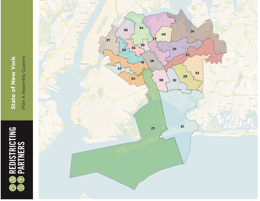
State Assembly Maps
The assembly districts for upstate towns have completely different makeups that have to be scrutinized closely to see how they will drastically change New York’s political landscape. They represent the most disparate parts of each of the proposals the commission has put forth. Likely due to the fact that there are more assembly seats, the puzzle pieces of this map can fit together many ways, and there is very little compromise when it comes to these layouts—especially in Queens.
New York City
Once the state redistricting is completed, New York City, Mayor Eric Adams, City Council Speaker Adrienne Adams, and City Council Minority Leader Joe Borelli will appoint a 15-member City Council redistricting commission that is tasked with redrawing Council district lines by December 2022.