

A new and long-awaited proposed New York congressional district map was released by the Senate and Assembly on Sunday. As a result of the 2020 census, the map reflects the state’s loss of one congressional district, bringing the state’s delegation down to 26 members.
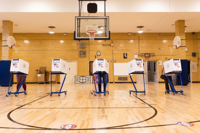
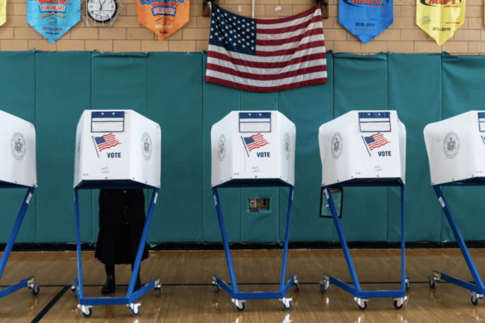
New York State legislators are expected to pass the map later this week and send it to Governor Kathy Hochul for her approval. New maps for New York State Assembly and Senate district maps are also expected to be released and approved later this week. Following those enactments, county boards of elections will realign election districts with the new Assembly Jdistricts so petitioning for Spring 2022 primaries can get underway in early March.
The task of drawing the initial line drawing fell to the New York State Legislature after the state’s advisory “Independent Redistricting Commission” failed to agree on congressional and state legislative maps in early January. The commission had been created under a 2014-enacted state constitutional amendment that aimed to remove the legislature from the initial line-drawing process.
This map represents the first opportunity for Democratic Party legislative leaders to manage drawing the state’s congressional maps in 90 years. In those prior years, Republicans or a politically divided legislature drew the maps. The current congressional lines were drawn by a federal court in 2012 after the legislature failed to come to an agreement on a map.
The proposed congressional district map contains a number of noteworthy line shifts. In order to eliminate one congressional district, Albany mapmakers distributed Representative Claudia Tenney’s (R) district into several others, creating a new Central New York district.
Several other districts were realigned to meet population equality and other state constitutional criteria. The Long Island-Queens district represented by Congressman Tom Suozzi (D) had parts of The Bronx and Westchester added to it, creating a Long Island Sound shoreline district first proposed by a coalition of Black, Hispanic, and Asian voting rights groups. Representative Jerry Nadler’s (D) Manhattan-Brooklyn district was largely left intact to keep New York City’s major Jewish neighborhoods in the same district. Representative Nicole Malliotakis’ (R) district maintains its Staten Island base while taking in Brooklyn’s Sunset Park and brownstone neighborhoods. Elsewhere in New York City, Representative Carolyn Maloney’s (D) Manhattan-based district loses parts of Queens and Brooklyn. The Bronx districts of Congresspersons Jamaal Bowman (D) and Mondaire Jones (D) move more northerly into upstate areas.
Court challenges to the plan, while possible, would be hard to win. In particular, any challenges brought in federal court would be limited to population equality and minority voting rights.
Senator Michael Gianaris (D), a Queens Democrat who introduced the congressional redistricting bill in the Senate, told the Washington Post, “This map was carefully drawn to comply with all constitutional and statutory requirements,” He explained, “New York is well known to be a solidly blue state, so it’s no surprise a fairly drawn map would yield results reflecting that reality.”
While the state’s redistricting process got off to a late start, it appears to be concluding in time for this year’s primaries to move forward without delays.
Jeffrey M. Wice is an Adjunct Professor/Senior Fellow at New York Law School and an expert on redistricting.